Geospatial Solutions. For a resilient future.

About the Company
GISJane, LLC is a consulting company specializing in geospatial solutions used for infrastructure projects and permitting across various fields, including planning, floodplain management, and environmental sustainability.
These solutions can be leveraged for projects ranging from engineering, surveying, and remote sensing to master planning, assets managing, finding water quality solutions, and outreaching communities.
GISJane is a woman-owned business located in St. Petersburg, Florida, founded by Jane E. Thompson, a Certified Floodplain Manager (CFM), and GIS Professional (GISP). The company advocates for clean water, flood preparedness, and communicates true flood risk and how to become more resilient.
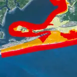
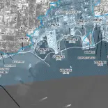
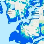
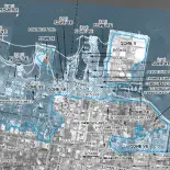
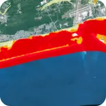
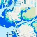
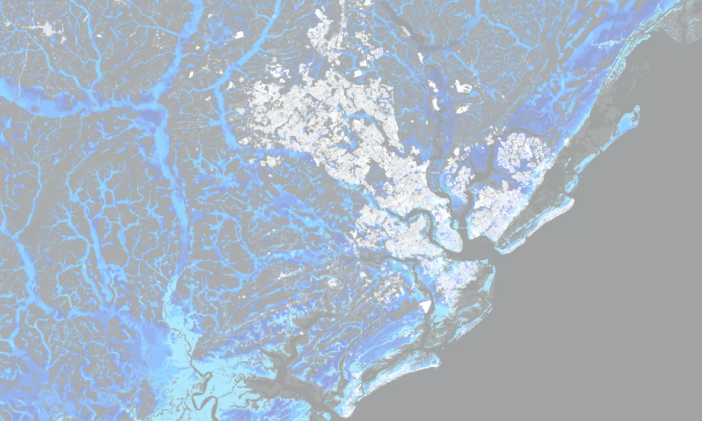
Through the current project, GISJane is working on finding the best ways to model future conditions from extreme weather, compound flood models, anticipate climate adaptation planning, and ensure that socioeconomic issues and constraints are considered in planning resilient communities.
Mission
Our mission is to help decision-makers in the flood space to protect life, property, and the environment from the perils of flooding through the protection and conservation of water supply, prediction and prevention of flooding, management of stormwater, improvement of water quality and community outreach.
Vision
Our vision is a world where water resources are safeguarded, flooding is mitigated, and communities are equipped with the knowledge and solutions to adapt and prosper in the face of environmental challenges.

Core Competencies

Professional Certifications
Professional Affiliations


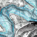
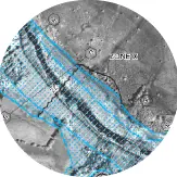
Jane E Thompson, CFM, GISP, the owner of GISJane, specializes in the development of Geographic Information Systems (GIS) in the civil engineering industry creating much of the base mapping available from FEMA in Florida.
Mrs. Thompson began her career in FEMA flood hazard mapping performing FEMA flood insurance studies during the FEMA Map Modernization Program for Northwest, Suwannee River and Southwest Florida Water Management Districts. She has worked with municipal, state, federal and private clients for regulatory and non-regulatory projects.
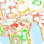
Jane excels at building relationships around GIS, remote sensing, innovative technologies, water quality, floodplain and asset management. She works extensively in asset management and master planning including watershed, water waste, stormwater, county, mining operations and reclamation, environmental engineering, floodplain modeling and mapping, regulatory compliance, permitting and performs QA/QC of modeling inputs and mapping results as well as performs Intergovernmental Outreach.
Mrs. Thompson’s extensive experience and understanding of GIS asset management principles transcends disciplines and even fields lending her expertise to drive marketing, professional membership, design grants projects with outreach to dozens of government agencies at once with a deeper understanding of environmental and other impacts holistically.
Jane’s quote:
Achievements
GISJane Projects
If you want to learn about our initiatives in details, please reach out to us
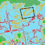
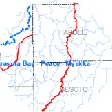
Multi-Jurisdictional Watershed Master Plan
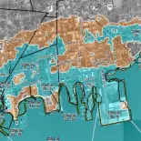
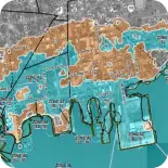
Manatee County CRS Stormwater Master Plan Activities Evaluation
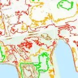
Polk County Pathway to a Stormwater Master Plan
Our Partnership
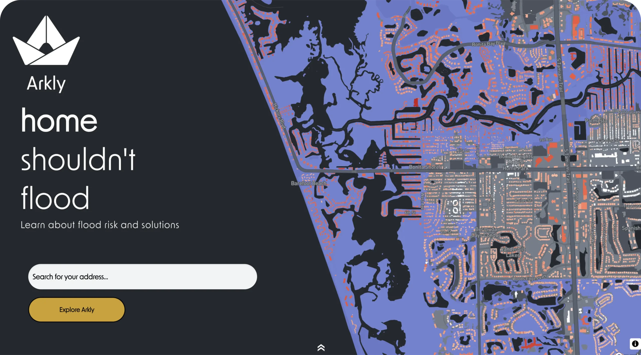
GISJane is proud to partner with HighTide in bringing Arkly to Florida.
Visit www.arkly.com to check your flood risk and learn about flood insurance and flood mitigation.

Let’s Get in Touch